
Section 3: Cardrona TO Innerleithen
Experience the old and the new on this inviting stretch of river – and prepare for an iconic view as you approach the canoe trail’s mid-way point.

Section 3: Need to know
Distance/time: approx. 3 miles/1.5 hours
River Grading: Level 1
Start point: what3words: bungalows.bolsters.dressing
End point: what3words: envelope.carpeted.raced
Facilities: Shelter is available at Traquair fishing bothy between April and mid-Sept – while wild camping is also available nearby. For a bothy key and for wild camping enquiries, please call the estate office in advance on 01896 830323 (office hours 8am-5pm, Mon to Fri). Canoeists are also welcome to use the toilets by the Walled Garden which are generally open from 10.30am-5pm when the main house is open - please check opening dates/times (the house is closed on Fridays outwith July and August). Paddlers can also anchor boats at Toll Wood and take a 10-minute stroll into Innerleithen to refuel, re-provision or stay the night. This buzzing town has a great selection of hotels, pubs, cafes, eateries and even a microbrewery and taproom offering beers inspired by the local mountain bike trails and landscape.
Tweedside Caravan Park on the outskirts of Innerleithen is the only formal campsite on the route of the canoe trail. Look out for it (river left) just before a pedestrian bridge a few hundred metres past where the Leithen Water joins the River Tweed. The site is accessed through a kissing gate and then a further gate 50m back along the Tweed Valley Railway Path. There is ample storage for boats.
Public transport: Borders Buses operates a regular service (X62) between Innerleithen, Peebles and other local towns and villages.
Section snapshot
This handsome stretch of trail begins on the banks of the river opposite Cardrona, a new-build village that nestles below a forest of the same name. Like much of the Tweed, the stretch of river ahead is rich in wildlife: otters, dippers, kingfishers, herons and more are all resident year-round. From April to late-summer, look out too for ospreys that breed throughout the Tweed Valley Forest Park. If lucky, you may spot one of these fish-eating birds of prey plucking a meal from the water with its sharp talons.
Just a short paddle from the get-in point, a contemporary footbridge carries a section of the Tweed Valley Railway Path – a recent addition to the landscape popular with cyclists and runners, walkers and commuters. From here, the river tucks in between this multi-use path and the forested hillside on the approach to Innerleithen.
A couple of miles on, look for a wooden way marker (river right) below a characterful fishing bothy, which marks the entrance to Traquair House – Scotland’s oldest continually inhabited house and one of the area’s most treasured attractions. Just a five-minute walk down a quiet track, the house and grounds are a delight to explore and include a huge, beech-hedged maze. Refreshments are also available in the lovely Old Walled Garden Cafe.
A little further on, deep pools form where the Quair Water meets the Tweed – a haven for river swimmers. Take a dip or simply enjoy the view over to conical Lee Pen, an elegant peak and handy landmark when on the water.
Look out for the wooden way marker (river left) just before Tweed Bridge which signals leafy Toll Wood and the end of this diverse section of water. Here, there is parking as well as information signage and canoe anchor points.
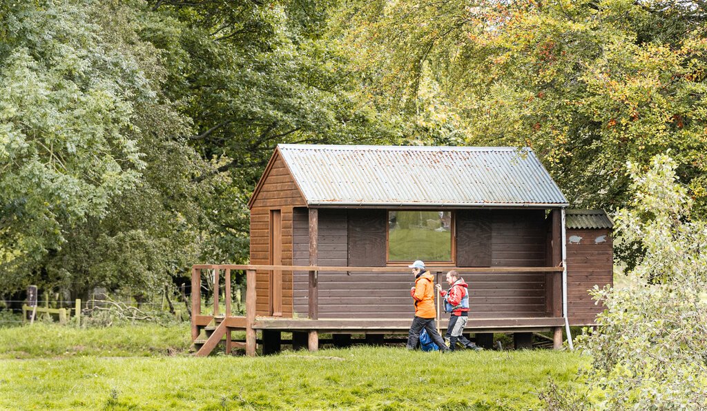
Fishing bothy, Traquair Estate
Image credits: Adobe Stock; Marc Marshall Photography